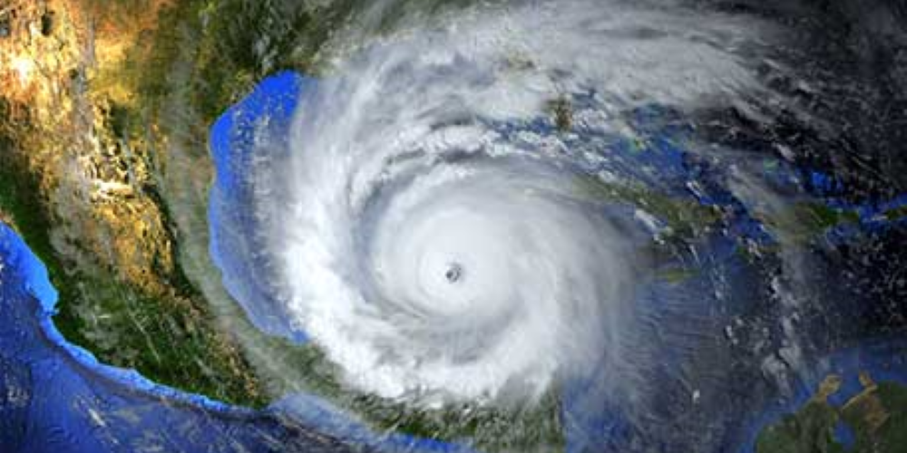
The Plan Integration for Resilience Scorecard (PIRSTM), recently launched by S&T’s Coastal Resilience Center, helps local governments plan for hurricane season—and beyond.
Last year at this time, Hurricane Ian struck Florida’s Gulf Coast as a category 4, with additional landfalls in Cuba and South Carolina. By the time the powerful storm retreated, Ian was responsible for over 150 deaths and more than $112 billion in damage (PDF, 72 pgs., 6.9 MB). When hurricanes make landfall, coastal communities are especially vulnerable to storm surges, high winds, and freshwater flooding. Residents can be left without clean water, food, shelter, electricity, and access to medical care for days. Communities need proper tools to adequately prepare for these storms, especially as climate change worsens the impact of these extreme weather events.
The Coastal Resilience Center (CRC), a Department of Homeland Security (DHS) Center of Excellence funded by the Science & Technology Directorate (S&T), is working to arm communities with modeling and evaluation tools that will give local leaders a leg up in boosting response and resiliency. This year during hurricane season, CRC—led by the University of North Carolina at Chapel Hill (UNC-CH) in partnership with Jackson State University, a Historically Black College and University—is using its high-performance ADvanced CIRCulation model (ADCIRC) to forecast storm surges, tides, and coastal circulation. During Hurricane Ian, and more recently during Hurricane Idalia in August, ADCIRC provided a detailed prediction of storm category, landfall location, radius, wind speed, surge levels, and storm track. This information was incorporated into daily operations briefings for DHS leadership and informed local communities across the East Coast.


